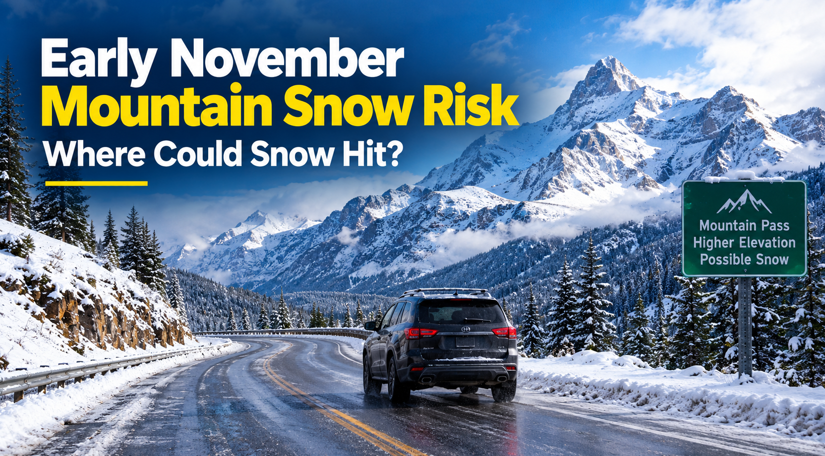
The early November mountain snow risk is increasing across parts of the western United States, with forecasters warning that several mountain ranges could experience significant snowfall during the first week of November 2026. The latest outlook highlights parts of the Central Rockies, Cascades, Klamath Mountains and northern Sierra Nevada as areas to watch.
According to the National Weather Service‘s Climate Prediction Center, an active weather pattern could bring several rounds of precipitation to the western US as November begins. While lower elevations may experience rain, colder conditions at higher elevations could produce accumulating snow, potentially affecting mountain travel and early-season outdoor activities.
The developing pattern is particularly important for motorists travelling through mountain passes, ski enthusiasts preparing for the winter season and communities that depend on mountain roads.
However, the forecast does not mean every mountain area will receive heavy snow. Elevation, temperature, storm timing and the amount of moisture available will determine where the greatest impacts occur.
Here is what the latest forecast says about the early November mountain snow risk, which regions are being monitored and how travellers can prepare.
Where Is the Early November Mountain Snow Risk Highest?
The latest US weather outlook identifies two main areas of concern for potential heavy mountain snow between November 1 and November 7, 2026.
The first is the Central Rockies, where a period of potentially significant snowfall is possible at the beginning of the month. The second stretches across parts of the western mountain ranges, including the Cascades, Klamath Mountains and northern Sierra Nevada, where another round of precipitation could bring snow later in the week.
These are forecast risk areas, not confirmed snowfall totals for individual towns or mountain passes.
1. Central Rockies: Snow Possible November 1–2
Parts of the Central Rockies could experience heavy mountain snow during November 1–2.
The Climate Prediction Center has identified a slight risk of heavy snow in this region. Its outlook indicates at least a 20% chance that three-day accumulated snowfall could exceed 4 inches, with locally higher amounts of 6 inches possible.
The greatest concern is at higher elevations, where temperatures are more likely to support snow rather than rain.
Mountain communities, hikers and motorists crossing elevated routes should monitor updated local forecasts as the weather system approaches.
Conditions can change significantly over short distances in mountainous terrain. A location receiving rain at a lower elevation could experience snow just a short distance uphill.
2. Colorado Rockies and Mountain Passes
Colorado is an important area to watch because its mountain highways cross high elevations where early-season winter weather can develop quickly.
The Interstate 70 mountain corridor is particularly relevant for motorists travelling through the Rockies.
Even when snowfall totals are relatively modest, falling temperatures and wet road surfaces can create hazardous driving conditions. Snow may accumulate on colder road surfaces, while exposed sections may experience stronger winds and reduced visibility.
The latest outlook does not establish that Interstate 70 will close or that every mountain community will experience heavy snow.
Instead, travellers should check the forecast for their precise destination and route before departure.
3. Cascades: Potential Snow During November 4–7
The Cascades of Washington and Oregon are another region identified in the early November mountain snow outlook.
The Climate Prediction Center has highlighted a slight risk of heavy snow across parts of the range during November 4–7.
The Cascades contain numerous high-elevation routes where snow, ice and reduced visibility can affect travel during the transition from autumn to winter.
The potential impacts will depend on the location and elevation of the heaviest precipitation, as well as the temperature profile during each storm.
Motorists planning to cross the mountains should check state transportation updates and local National Weather Service forecasts before setting out.
4. Klamath Mountains and Northern Sierra Nevada
Parts of northern California and southern Oregon could also experience significant mountain snowfall during the first week of November.
The outlook identifies the Klamath Mountains and northern Sierra Nevada as areas to monitor, with the potential for several inches of snow over a three-day period in some locations.
The Sierra Nevada is particularly important for regional travel because major highways cross elevated terrain where conditions can deteriorate quickly during a winter storm.
Travellers heading toward mountain communities or crossing the Sierra should prepare for the possibility of changing road conditions.
However, the outlook does not guarantee that all Sierra Nevada routes will experience snow or that travel restrictions will be introduced.
Actual conditions will depend on the evolving forecast.
How Much Snow Could Fall in Early November?
The amount of snow that falls will depend on the strength of the weather systems, the availability of moisture and temperatures at different elevations.
The current outlook identifies a risk of substantial snowfall in selected mountain areas, but it does not provide a confirmed snow total for every affected location.
The following table summarises the main areas identified in the forecast.
| Mountain region | Period to watch | Forecast concern |
|---|---|---|
| Central Rockies | November 1–2 | Slight risk of heavy snow at higher elevations |
| Colorado mountain areas | Early November | Potential snow and changing mountain travel conditions |
| Cascades | November 4–7 | Slight risk of heavy snow |
| Klamath Mountains | Early November, particularly November 1–6 in the broader outlook | Potential significant mountain snowfall |
| Northern Sierra Nevada | Early November, particularly November 1–6 in the broader outlook | Potential significant mountain snowfall |
The dates in the table reflect the relevant forecast windows, which differ slightly between outlook products.
The Climate Prediction Center’s October 24 outlook identifies the Central Rockies for November 1–2 and the Cascades, Klamath Mountains and northern Sierra Nevada for later or broader periods during the first week of November.
Important: These forecasts describe probabilities, not guaranteed outcomes. Snowfall amounts and locations may change as forecasters receive updated weather-model guidance.
Why Could Mountain Snow Develop So Early in November?
Several atmospheric factors influence whether early November storms produce rain or snow in mountainous regions.
Cold air at higher elevations
Mountain temperatures are generally lower than temperatures in nearby valleys and lowlands.
When a weather system brings moisture into a mountain range, the highest elevations may receive snow even if lower communities experience rain.
This difference can create rapidly changing conditions for people travelling between valleys and mountain passes.
Moisture from Pacific weather systems
Weather systems approaching the western United States from the Pacific can carry substantial moisture inland.
When that moisture encounters mountainous terrain, air is forced upward. The rising air cools, encouraging condensation and precipitation.
If temperatures are sufficiently cold, the precipitation can fall as snow.
The amount of snow depends on the storm’s moisture content, temperature profile, wind direction and duration.
Changing temperatures during the storm
Snow levels can rise or fall as a weather system moves through an area.
A mountain pass may begin with rain or wet snow before conditions become colder. Alternatively, snow can change to rain if warmer air moves into the region.
This is why checking a forecast for a nearby city may not accurately describe conditions at a higher-elevation destination.
Travellers should look for forecasts that specifically cover the mountain pass or route they intend to use.
Could Early November Mountain Snow Affect Road Travel?
Yes. Snow and ice can create hazardous driving conditions even when a storm does not produce exceptionally large accumulations.
Mountain highways often include steep grades, sharp bends, exposed sections and stretches where temperatures differ considerably from those in nearby towns.
During early-season storms, drivers may also be less prepared for winter conditions because autumn weather can remain relatively mild at lower elevations.
Potential problems include:
- Snow accumulating on roads at higher elevations.
- Ice forming on bridges and shaded road sections.
- Reduced visibility during heavy precipitation.
- Slower traffic on steep mountain grades.
- Temporary restrictions or closures if conditions deteriorate.
- Longer journey times as transportation crews treat affected roads.
These are possible impacts, not a prediction that every route mentioned in the forecast will experience them.
Interstate 70 in Colorado
Interstate 70 crosses the Colorado Rockies and serves as an important route for commuters, tourists and commercial traffic.
Drivers planning to use the mountain corridor should check the Colorado Department of Transportation’s official travel information before leaving.
Winter traction requirements may apply when conditions warrant. Motorists should verify the current requirements and ensure their vehicles and tyres meet the applicable rules.
Mountain highways in Washington and Oregon
Drivers crossing the Cascades should monitor official transportation updates for their specific route.
Snowfall can affect mountain passes while conditions remain relatively mild in lower-elevation cities.
Travellers should avoid assuming that a clear forecast at their departure point guarantees safe conditions throughout the journey.
Sierra Nevada routes in California
Motorists travelling through the Sierra Nevada should monitor Caltrans updates for road conditions and chain controls.
Depending on the storm, officials may introduce traction requirements or other restrictions to improve safety.
Drivers should check the latest official instructions rather than relying on an older forecast or reports from unrelated parts of the mountain range.
What Should Travellers Do Before the First Mountain Snowstorms?
Anyone planning to drive through the western mountains in early November should prepare for the possibility of winter weather.
The following precautions can help reduce the risk of being caught unprepared.
Check the forecast before departure. Review the latest weather information for the exact mountain pass and travel period. Conditions may differ considerably between nearby elevations.
Check road conditions. Use official state transportation websites to look for closures, restrictions, chain requirements and other travel advisories.
Prepare your vehicle. Check tyre condition, tyre pressure, lights, windscreen wipers and the heating and defrosting systems.
Carry appropriate winter equipment. Depending on the route and conditions, this may include suitable tyres, legally required traction devices, warm clothing, water, food and a torch.
Allow extra travel time. Snow and ice can reduce speeds and increase congestion, particularly on mountain highways.
Avoid unnecessary risks. If authorities advise against travel or conditions deteriorate significantly, consider delaying the journey.
Drivers should not assume that four-wheel drive or all-wheel drive makes a vehicle immune to slippery roads. Tyre grip and driving conditions remain important.
Will Early November Mountain Snow Improve Ski Conditions?
The potential snowfall could be welcome news for some mountain recreation areas preparing for the winter season.
Early-season snow can help establish a natural snow base, particularly at higher elevations where temperatures remain cold enough for accumulation.
However, a single storm does not guarantee that a ski resort will open early or offer good skiing conditions.
Resorts generally need sufficient snow coverage, suitable temperatures and time to prepare trails and facilities.
Snowfall at high elevations may also coexist with rain or warmer temperatures at lower elevations.
Anyone planning a skiing or snowboarding trip should check the resort’s official opening information, snow reports and operating status before making travel arrangements.
The early November mountain snow risk indicates a potential opportunity for fresh snow in parts of the West, but actual recreation conditions will depend on how the weather develops.
How Does the November Snow Outlook Compare With the Rest of the Month?
The potential for heavy mountain snow during the first week of November does not necessarily mean the entire month will be unusually cold or snowy across the United States.
The National Weather Service’s Climate Prediction Center has issued a separate monthly outlook for November 2026.
That outlook favours above-normal temperatures across much of the northern two-thirds of the contiguous United States, with warmer conditions particularly favoured in parts of the Pacific Northwest, Northern Plains, Upper Mississippi Valley and Great Lakes.
The monthly precipitation outlook also favours wetter conditions across much of the southern United States and the East Coast, while below-normal precipitation is favoured in parts of the northern Intermountain West, Northern Plains and Great Lakes region.
These monthly outlooks describe broad probabilities over a longer period. They do not rule out individual winter storms or significant mountain snowfall.
A region can have a warmer-than-average month overall and still experience a short period of heavy snow at high elevations.
This distinction is particularly important when interpreting seasonal weather headlines.
What Role Could El Niño Play in Early November Mountain Snow?
El Niño is a climate pattern involving unusually warm sea-surface temperatures in the central and eastern tropical Pacific. It can influence atmospheric circulation and alter the typical distribution of precipitation and temperature across parts of the United States.
The Climate Prediction Center identifies El Niño as an important influence on its November 2026 outlook.
However, El Niño does not determine the weather on a particular day or guarantee snowfall in an individual mountain range.
Local weather systems, elevation, storm tracks and temperature changes remain important.
The early November snow risk is based on shorter-range weather guidance that identifies potential storm activity and snowfall hazards. Seasonal climate patterns provide additional context, but they should not be used as a substitute for the latest local forecast.
Frequently Asked Questions About Early November Mountain Snow Risk
Where is heavy mountain snow possible in early November 2026?
The latest outlook identifies parts of the Central Rockies for November 1–2 and parts of the Cascades, Klamath Mountains and northern Sierra Nevada during the first week of November.
When could the first major mountain snow arrive?
Parts of the Central Rockies could experience significant snowfall early in the month, particularly November 1–2. The Cascades and parts of northern California and southern Oregon could face another period of snow later in the week.
The exact timing and location of snowfall may change as the forecast is updated.
How much snow could fall in the mountains?
The Climate Prediction Center identifies a slight risk of heavy snow in selected areas. Its outlook indicates a possibility of three-day totals exceeding 4 inches in parts of the Central Rockies, with locally higher amounts possible.
Actual totals will depend on the storm and elevation.
Will Colorado receive snow in early November?
Parts of the Colorado Rockies are included in the early November mountain snow outlook. However, snowfall will vary by location, and the forecast does not guarantee heavy snow across the entire state.
Could the Cascades and Sierra Nevada receive snow?
Yes. The current outlook identifies parts of both mountain regions as areas to monitor for potentially significant snowfall during the first week of November.
Will mountain roads close because of snow?
The forecast does not confirm any specific road closures. However, snow, ice and poor visibility can lead transportation officials to introduce restrictions or close roads if conditions become dangerous.
Travellers should check official transportation updates before setting out.
Is early November snow unusual in the western mountains?
No. Snow is a normal part of the seasonal transition in many high-elevation western mountain ranges. The significance of this particular forecast lies in the potential for heavier snowfall in selected areas during the first week of November.
Does a warmer November forecast mean there will be no snow?
No. A monthly outlook describes broad temperature probabilities across a large area. Individual weather systems can still produce snow, especially
